The Land – Crowlands Wind Farm, Pyrenees Shire 

Our Client – Pacific Hydro; The Issue – Access to turbines via unused Government Roads

The Land – The ocean seabed off Barwon Heads

Our Client – Department of Environment, Land, Water and Planning (DELPW); The issue – Governance of the sunken HMAS Canberra dive site

The Land – ‘Joint Management’ reserves in Gunaikurnai country

Our Client – the Knob Reserve Committee of Management; The Issue – Governance under the Traditional Owner Settlement Act 2010

The Land – Victoria’s Coastal Reserves

Our Client – Victorian Environmental Assessment Council (VEAC); The Issue – How coastal erosion impacts legal title boundaries

The Land – South Melbourne Market

Our Client – City of Port Phillip; The Issue – Leases and Licence for Stallholders

The Land – 24k-long linear reserve, previously Melbourne’s main outfall sewer

Our Client – City of Wyndham; The Issue – Negotiating a governance regime involving Council, Melbourne Water and VicRoads

The Land – 500 community facilities across Geelong

Our Client – City of Greater Geelong; The Issue – A Community Use Strategy and a Governance Framework

The Land: Melbourne Recital Centre

Our Client: Major Projects Victoria; The Issue: Authorisation of projections into airspace above roads

The Land: Murray River frontage at Mildura

Our Client: Places Victoria; The Issue: Assembly of land parcels for redevelopment

The Land: Coasts, Lakes and Rivers across Victoria

Our Client: Department of Transport, Planning & Local Infrastructure; The Issue: Governance of recreational boating facilities

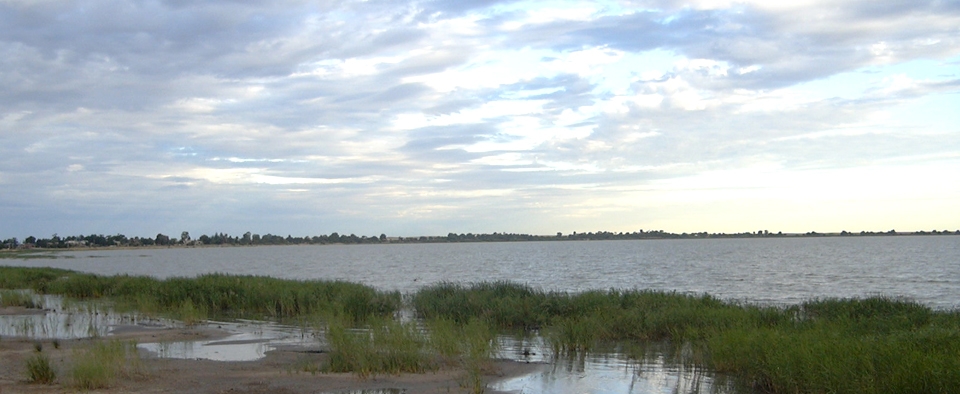
The Land: Lake Boga

Our Client: Goulburn-Murray Water; The issue: Strategy for managing 140 illegal encroachments

The Land: Anywhere that people congregate

Our Client: Victorian Environmental Assessment Council; The Issue: What makes Melbourne ‘liveable’?

The Land: Little Lonsdale St, Melbourne

Our Client: Lend Lease on behalf of Myers Pty Ltd; The Issue: Acquisition of rights to airspace for pedestrian bridge

Property Law and Planning Law

Property Law and Planning Law
Course Overview

In planning scheme maps, the zones and overlays are superimposed over a set of black lines. That’s the cadastre – the system of boundaries and parcelation defining land status, land ownership, and real property rights… This course explains the cadastre: how it is defined, what it means, and how it all works.


Upcoming Presentations of this Course
Cost : 

$550 including GST and course notes

Contact

To enrol, contact our Training Course Manager, Fiona Sellars
fiona@publicland.com.au